A treacherous border road to Salar de Ollague Pass in the Andes
Paso Salar de Ollagüe is an international high-mountain border pass at an elevation of 3,695 meters (12,122 ft) above sea level, located in the Andes range on the frontier between Chile and Bolivia.
| Road facts: Paso Salar de Ollagüe | |
|---|---|
| Location | Chile (Antofagasta) - Bolivia (Potosí) |
| Elevation | 3,695 m (12,122 ft) |
| Surface | Unpaved (Dirt, salt crust, and gravel) |
| Border Hours | Open daily 08:00 to 20:00 |
Where is Paso Salar de Ollagüe located?
The high-altitude pass is situated within the Alto Loa National Reserve, cutting directly between the smoke vents of the active Ollagüe volcano and the massive salt flats. The road connects the Antofagasta Region in northern Chile with the desert highlands of the Potosí Department in southwestern Bolivia. The border control stations on both sides of the ridge operate strictly between 08:00 and 20:00 hours daily.
What are the road conditions across Paso Salar de Ollagüe?
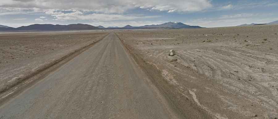
The high-altitude road running through the pass is entirely unpaved. On the Chilean side, the track is designated as Ruta CH-21, while the connecting Bolivian section becomes Carretera 701. The surface consists of hard-packed volcanic dirt, loose gravel, and sections of rough salt crust near the flat basins. The track is heavily corrugated from the constant transit of heavy mining trucks hauling borax and lithium, creating deep washboard ripples that test vehicle suspensions severely.
Is Paso Salar de Ollagüe open in winter?
Due to the extreme aridity of the Atacama Desert, the pass receives very little annual precipitation and remains open to traffic year-round. However, during the southern hemisphere winter months (June to August), the pass faces extreme alpine winds exceeding 80 km/h and temperatures that drop well below freezing, which can freeze mechanical fluids. During the Andean summer (January to March), sudden high-altitude storms can occasionally wash out the dirt trackbed with mud slurry.