How to drive the unpaved road to Abra Pucuani in the Cordillera Real?
Abra Pucuani is a high mountain pass at an elevation of 4,556 meters (14,947 ft) above sea level, located in the La Paz Department of Bolivia.
Where is Abra Pucuani?
The pass is located in the central part of Bolivia, southeast of the city of La Paz, near the Mururata peak. It links the valley of Palca and the mining area of Tres Rios.
How challenging is the road through Abra Pucuani?
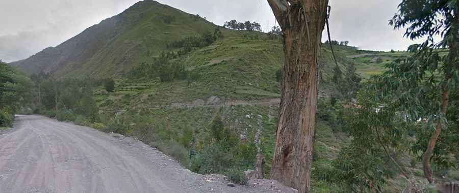
The road through the pass is entirely unpaved and consists of loose shale, large rocks, and deep ruts. The road is very narrow, often reduced to a single-lane ledge carved into the mountainside with unprotected drops and no safety barriers. After the rainy season, landslides are common. A 4x4 vehicle is recommended. The drive comprises a few hairpin turns. Long-wheelbase vehicles often have to perform multi-point maneuvers right on the edge of the cliffs.
How long is the road through Abra Pucuani?
The road through the pass is 30 kilometers (18.6 miles) long, running between Palca and Tres Rios. A 4x4 vehicle is recommended.
Is the road to Abra Pucuani open in winter?
Set high in the Cordillera Real mountain range, the pass is generally open year-round, but it can be blocked by sudden snowfalls or thick mist at any time of the year. During the winter months, at this elevation, temperatures drop well below zero, freezing the ground and making the surface slippery.