How to get by car to Tocorpuri Volcano on the border of Chile and Bolivia?
Volcán Tocorpuri is a dormant stratovolcano located on the border between Chile and Bolivia. North of the summit, a mining road climbs up to 5,563 m (18,251 ft) above sea level. It’s one of the highest roads in the country.
Where is Tocorpuri volcano?
The volcano, also known as Michina, Cerro de Tocorpuri, Cerros de Tocorpuri or Volcán Tocorpuri, is located on the border between Chile (in Antofagasta Department) and Bolivia (in Potosí Department).
Is Tocorpuri volcano still active?
Part of the Tocorpuri volcanic complex, the volcano is mostly made up of hardened lava flows and rock fragments from past eruptions. Formed a long time ago, during the late Pleistocene period, the most recent eruption happened about 34,000 years ago, creating the La Torta lava dome. Today, there's still geothermal activity nearby, which might be linked to the famous El Tatio geothermal field.
Why is there a road near the summit of Tocorpuri volcano?
Sulfur deposits were mined in the summit region of Tocorpuri volcano, which led to the construction of a mining road that ends near the northern part of the summit, without reaching it entirely.
How long is the road to Tocorpuri volcano?
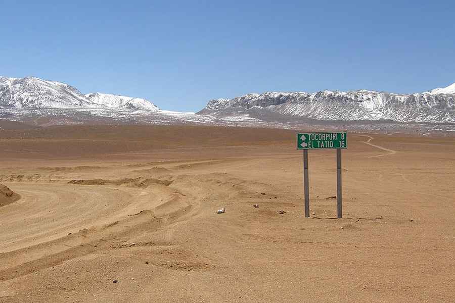
The road to the deposits is located on the Bolivian side. It’s totally unpaved, mainly sand. A 4x4 vehicle is required. It comprises narrow parts and many hairpin turns. Starting from Quetena Grande, the drive is about 90 km (56 miles) long. There’s no road on the Chilean side.
Road suggested by: Hugh Wilson
Pic: Bachelot Pierre J-P, CC BY-SA 3.0 <https://creativecommons.org/licenses/by-sa/3.0>, via Wikimedia Commons