How to drive the unpaved road to Rhity Apacheta Pass in La Paz Department?
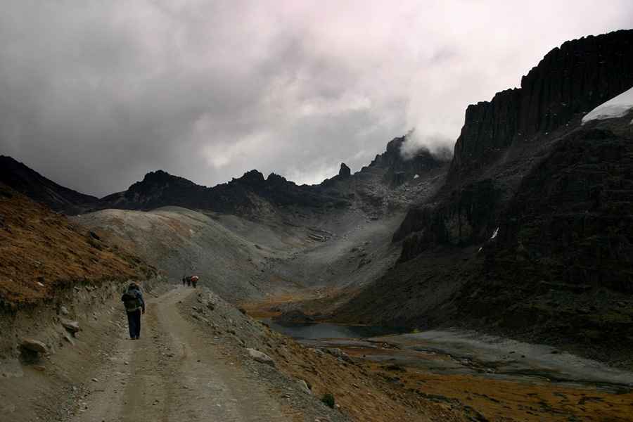
Paso Rhity Apacheta is a high mountain pass at an elevation of 4,874m (15,990ft) above sea level, located in La Paz Department, in Bolivia. It’s one of the highest roads in the country.
Where is Rhity Apacheta Pass?
The pass, also known as Rit’i Apachita Pass, Riti Apacheta, and Riti Apacheta, is located within the Ulla Ulla National Fauna Reserve, north of the defiant Paso Sanchez, in the Franz Tamayo Province, near the border with Peru.
Is the road to Rhity Apacheta Pass unpaved?
The road to the summit is totally unpaved, with many curves, narrow parts, very steep sections and a few sharp hairpin turns. A 4x4 vehicle is required to drive the entire route. If your ideal road trip involves getting way off the beaten track then this is the drive for you.
How long is the road through Rhity Apacheta Pass?
Set high in the Apolobamba mountain range, the road through the summit is about 123km (76 miles) long, running south-north from Ruta Nacional 16, near Villa Gral Pérez to Cueara.
Road suggested by: Hugh Wilson
Pic: Jakub Gałka