Driving the wild Cuesta del Lipán to Abra de Potrerillos in Jujuy
Abra de Potrerillos is a high mountain pass at an elevation of 4.192m (13,753ft) above sea level, located in the department of Tumbaya, in Argentina.
Where is Abra de Potrerillos?
The pass is located in the province of Jujuy, in the northwestern part of the country.
When was Abra de Potrerillos built?
Formerly, the territory was crossed by mule trails descending from the highlands to the valley. In the early '70s, a dirt road was built, part of the Provincial Route 16, linking San Salvador de Jujuy, the capital of the province, with the town of Susques. In 1979, the stretch of 65 km from Purmamarca to Route 40 became a national jurisdiction, called National Route 52. And in 1999, the nation and the province signed an agreement to start the construction of this new road in 2000.
Is Abra de Potrerillos paved?
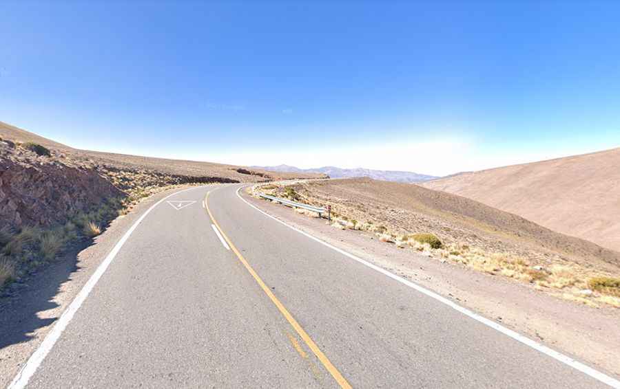
The road to the summit is totally paved. It’s called National Route 52 (RN52). A few hundred meters before reaching its peak, there is a viewpoint where people can observe the dramatic road entirely. The view of the road as it climbs in a series of switchbacks makes you wonder at the engineering required.
How long is Abra de Potrerillos?
The pass is 80.1 km (49.77 miles) long, running east-west from Purmamarca to Santuario de Tres Pozos via Salinas Grandes. Beyond this point, the RN52 continues to Paso de Jama.
Is Abra de Potrerillos challenging?
The challenging road to the summit is known as Cuesta del Lipán (Lipan Slope). It’s a winding steep road with countless turns and hairpin turns. In approximately 17 kilometers, the slope rises from the edge of the town of Purmamarca at 2,192m to Abra de Potrerillos. The road then goes down to Salinas Grandes, at 3,450 meters. The slope consists of a fully paved road that meanders in its ascent. Be prepared; this is high, so you will have shortness of breath if you try to do anything a bit strenuous.