Alto de Chorillos: Driving to 4,806m in the Argentine Puna
Located in the rugged Province of Salta, in northwestern Argentina, Alto de Chorillos is a high mountain peak reaching a staggering elevation of 4,806m (15,767ft) above sea level. Situated in the heart of the Puna de Atacama, this is one of the highest roads in the country, leading to a world where the air is thin and the desert landscape looks like another planet.
| Road facts: Alto de Chorillos | |
|---|---|
| Location | Salta Province, Argentina (Puna de Atacama) |
| Elevation | 4,806 m (15,767 ft) |
| Length | 6.2 km (3.8 miles) |
| Elevation Gain | 246 m |
| Average Gradient | 3.96% |
How to get by car to Alto de Chorillos?
The journey to the summit starts from the Main RN51, the iconic highway that connects Salta with the Chilean border. From the junction, the road to the top is 6.2 km (3.8 miles) long. While the average gradient is a moderate 3.96%, the real challenge is the altitude. At nearly 5,000 meters, naturally aspirated engines lose about 40-50% of their power. This gravel road is tightly hairpinned and bumpy, requiring a 4wd vehicle to manage the sudden loose-gravel breaks and the steep ramps that lead to the astronomical observatory known as the Large Latin American Millimeter Array (LLAMA).
What are the road conditions at Alto de Chorillos?
The road is an infamous gravel track that is impassable during winter snowfalls. Because of the extreme altitude, the pass can be closed at any time if the snow isn't cleared. The surface is challenging; even a single rainfall can transform the arid soil into a technical trap. If you're scared of heights, this trail will be difficult, as it features significant drop-offs and narrow sections with no protection. Proper preparation is essential: you must ensure your vehicle’s cooling system is perfect and that you are carrying extra oxygen or moving slowly to avoid acute mountain sickness (soroche).
How is the weather at the summit of Alto de Chorillos?
The climate in the Puna is arid, cold, and highly unpredictable. High temperatures range from 14°C to 21°C (57F to 70F), but the real danger is the night and the midwinter extremes, where temperatures can plummet to under -15°C (5F). All precipitation falls exclusively during the summer months (200mm to 400mm total), often in the form of sudden, violent storms. High winds are a constant factor, and the intense solar radiation at 4,806 meters can quickly dehydrate both the driver and the vehicle's fluids.
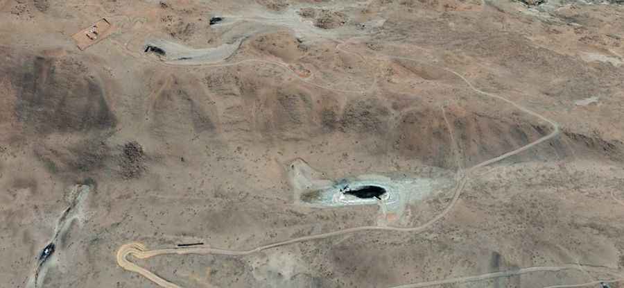
Why drive to the LLAMA observatory site?
Driving to Alto de Chorillos isn't just about the height; it's about reaching one of the most advanced scientific sites in South America. The LLAMA observatory sits at the summit because the atmosphere is so dry and thin, allowing for clear radio-astronomy observations. For the driver, reaching the top means conquering a high-altitude desert frontier where self-sufficiency is the only rule. There are no services, no water, and no help for miles; you must be well-prepared with recovery gear and emergency supplies before leaving the RN51.