Puente Mal Paso: The Historic Icon of the Escoipe Gorge
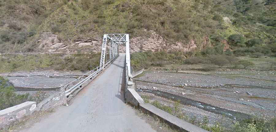
Puente Mal Paso is a historic mountain structure located in the Salta province of northwest Argentina. Situated over the Escoipe River, this bridge stands at the entrance of the Provincial Route 33 (RP33), the mountain highway that leads toward the Cuesta del Obispo and the Calchaquí Valleys, and is one of the most spectacular bridges in the world.
| Road facts: Puente Mal Paso | |
|---|---|
| Location | RP33, Salta (Argentina) |
| Elevation | 2,100 m (6,890 ft) |
| Status | Historic (Bypassed by modern RP33) |
| Surface | Paved (Modern bypass lane) |
Where is the Puente Mal Paso located?
The bridge spans the Escoipe River within the Quebrada de Escoipe, a deep rock gorge in the department of Chicoana. The structure sits at an elevation of 2,100 meters (6,890 ft) above sea level on the route of the Provincial Route 33. The active asphalted highway runs directly parallel to the old platform to absorb the daily regional traffic.
How can you see the Puente Mal Paso on the RP33 road?
When driving the RP33 from Salta toward Cachi, vehicles do not cross the old stone platform. A modern, wider concrete variant handles the active traffic flow a few meters away from the original masonry structure. The bypassed bridge remains intact and fully visible from the active paved lanes before the highway begins the vertical mountain climb up the Cuesta del Obispo ramps.
What are the driving conditions on the RP33 through the Escoipe gorge?
The paved route through the gorge consists of a narrow asphalted track flanked by steep vertical mountain cuts on one side and the river bed on the other. The asphalted lanes lack wide security margins or lateral runoff spaces. During the summer storm months from December to March, sudden flash floods down the Escoipe River frequently wash mud and stone debris directly over the driving lanes.