How to drive the unpaved Ruta Provincial 13 to Cuesta de Bonilla in the Andes?
Ruta Provincial 13 is one of the most spectacular tracks in the world. Located in Mendoza Province, in Argentina, the track is very scenic -climbing up several mountain passes and dry rivers-, and challenging.
Where is Ruta Provincial 13?
Located in the western part of the country, the road is also known as Camino Las Lajas or The Route of the Telegrapher. This is an old road that used to connect Mendoza with Chile many years ago.
How long is Ruta Provincial 13?
The track is 86.2 km long, running from Mendoza (the capital of Mendoza Province, at an elevation of 888m above sea level) to Uspallata (a village near the Chilean border at an elevation of 1.898m above sea level).
Is Ruta Provincial 13 unpaved?
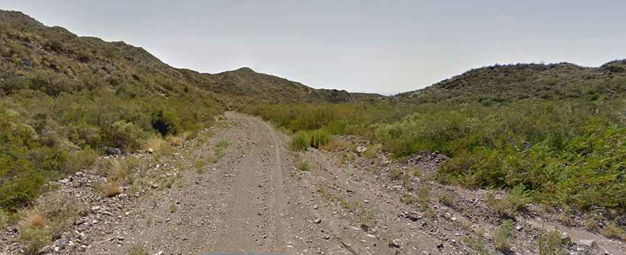
The road is totally unpaved. The surface of the road is in very bad condition, very narrow and steep. It is said to have 365 turns. Never travel this road alone. GPS is essential. Expect 3-4 hours driving. A 4x4 vehicle is highly recommended.
Is Ruta Provincial 13 open year-round?
Set high in the Andes, the road tops out at 3.110m (10,203ft) above sea level, at Cuesta de Bonilla pass. It can be closed anytime due to the snow.