How to drive the unpaved RP205 to Abra de Rota?
Abra de Rota is a high mountain pass at an elevation of 4,405 meters (14,452 ft) above sea level, located on the border between the Salta and Jujuy provinces in Argentina.
Where is Abra de Rota?
The pass is located in the northwestern corner of Argentina, in the heart of the Puna, a high-altitude volcanic desert. The track starts near the small settlement of Suripugio and climbs steadily through a barren landscape with no trees or vegetation. This is one of the most isolated regions of the Andes, with no cell service, no shops, and no permanent residents for dozens of kilometers around the summit.
Is Abra de Rota unpaved?
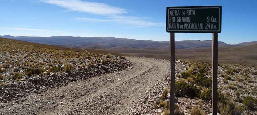
The road through the pass is totally unpaved. The surface is a mix of loose gravel, volcanic sand, and long sections of "calamina" (washboarding) that cause intense vibrations. It’s called Ruta Provincial 205 (RP205)
How long is the road to Abra de Rota?
The road is 21.5 kilometers (13.3 miles) long running from Suripugio to the pass. 4x4 vehicles only.
Is the road to Abra de Rota open in winter?
The pass is generally open year-round, but winter conditions bring extreme sub-zero temperatures that can freeze water crossings solid overnight. Sudden snowstorms can also block the track without warning.
Pic: http://www.losviajesdevickyyened.com/2016/08/de-yavi-pucara-san-roque-por-abra-de.html