The road to Abra de Olivares in the Andes is for Experienced Drivers with Advanced Off Road Skills Only
Abra de Olivares is a high mountain pass at an elevation of 4,928m (16,167ft) above sea level, located in Iglesia Department of Argentina. It’s one of the highest roads in the country.
Where is Abra de Olivares?
The pass, also known as Portezuelo de Olivares, is located west of San José de Jáchal, in the northwest mountainous corner of San Juan Province, in the northwestern part of the country, not far from the Chilean border.
Is the road to Abra de Olivares unpaved?
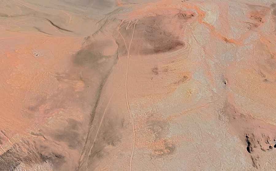
The road to the summit is totally unpaved and extremely defiant. It’s a very remote drive on a non-maintained road, so a 4x4 vehicle is required. The road contains steep sections, narrow parts, many curves, and a few hairpin turns.
How long is the road to Abra de Olivares?
The road to the summit is about 15km (9 miles) long starting from Road 150, south of Agua Negra Pass, the highest road between Argentina and Chile, at an elevation of 4,774m (15,662ft) above sea level.
Is the road to Abra de Olivares open?
The road, situated below the 6,216 m peak of Nevado de Olivares, in the Andes mountain range, can be closed anytime due to extreme weather, so check conditions before venturing on it. Parts of the road may be washboarded after rains.
Road suggested by: Hugh Wilson