How to drive the unpaved RP145S Road to Abra Condor?
Abra Cóndor is a high mountain pass at an elevation of 4,495m (14,747ft) above sea level, located in Argentina.
Where is Abra Cóndor?
The pass, also known as Abra Gigante, is located on the boundary between Jujuy and Salta provinces, in the northern part of the country.
Is Abra Cóndor unpaved?
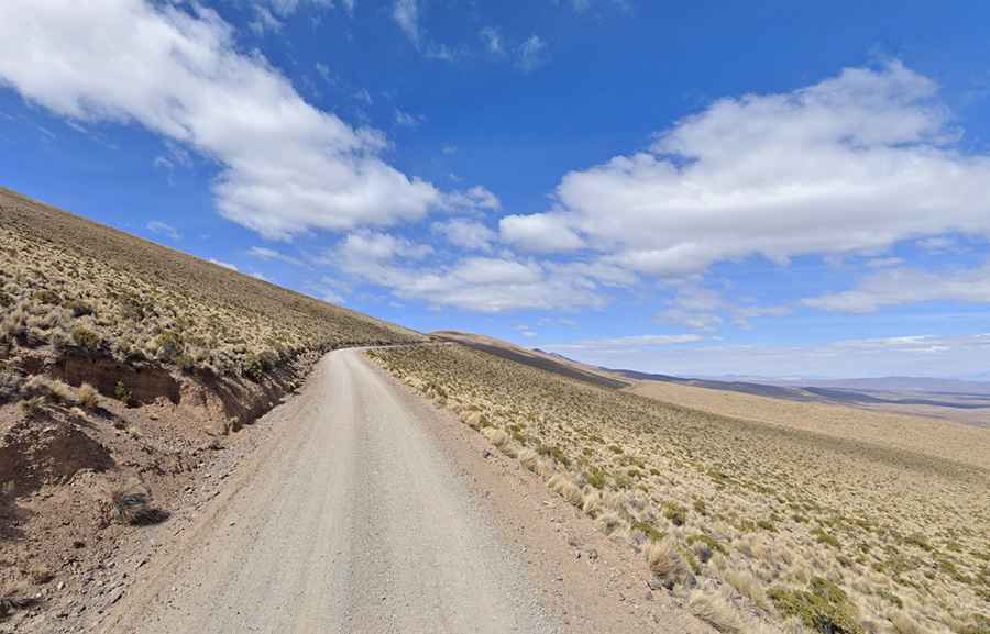
The road through the pass is totally unpaved but well-maintained and in fairly good condition, easily accessible by most vehicles. It’s called Ruta Provincial 145S (RP145S). On its southern side, the road features more than 40 hairpin turns.
How challenging is the road to Abra Cóndor?
It comprises loose gravel and sand surface. The track is cut into a steep, barren hillside with a constant lateral slope and no safety barriers or guardrails. The roadbed is narrow, barely wide enough for two small vehicles to pass, and features soft, eroding shoulders on the downslope side. The surface is dry and prone to washboarding.
How long is Abra Cóndor?
The road through the pass is 88.2 km (54.80 miles) long, running north–south from San José (a town in Jujuy Province near the Bolivian border) to Nazareno (a village in Salta Province), where it ends.