Abra de la Santa Cruz: Driving the 4,597m Jujuy-Salta Boundary (RP13A)
Abra de la Santa Cruz is a truly challenging high mountain pass located in the Andes Mountains of Northern Argentina. Situated at a breathtaking elevation of 4,597 meters (15,082 ft) above sea level, this remote crossing is renowned for its technical driving demands and stunning high-altitude scenery.
Where is Abra de la Santa Cruz and what is the road name?
The pass is strategically located on the boundary between Jujuy and Salta provinces, in the northern part of the country. The route is carried by the Ruta Provincial 13A (RP13A). The road runs east–west for 46 kilometers (28 miles) long, connecting Abra del Sauce (in Salta Province) to Casillas (in Jujuy Province).
What are the driving conditions and vehicle requirements?
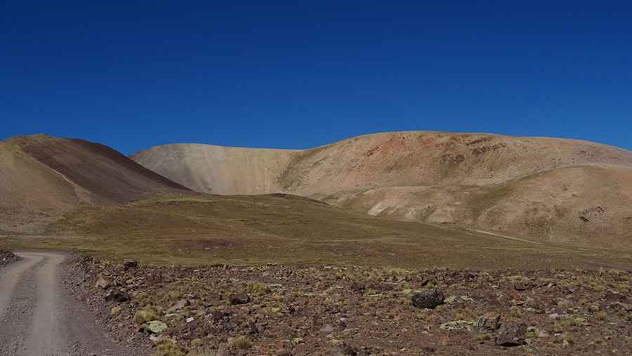
The entire 46-kilometer route is entirely unpaved and presents significant driving difficulties. The track features narrow parts, dangerously steep sections, and countless turns as it climbs and descends the high Andes mountains. A 4x4 vehicle is strongly recommended to navigate the varying surfaces, which often include loose gravel and rocky sections.
What is the risk of altitude and remoteness on this route?
Given the extreme elevation of 4,597 meters, travelers must be prepared for the risks associated with extreme altitude sickness (Soroche), which affects most people above 4,000 meters. Due to the isolation of the Jujuy-Salta high plateau, emergency services, fuel, and supplies are extremely rare or non-existent. Travelers should carry extra water, fuel, and medical supplies, and always check weather forecasts, as the weather can change rapidly in the Andes.
Pic: Vicky Yened