The Wild Road to Abra de Ovejería
Abra de Ovejería is a high mountain pass at an elevation of 4,310m (14,140ft) above sea level, located in the Rosario de Lerma department of the Salta Province, Argentina.
Where is Abra de Ovejería located?
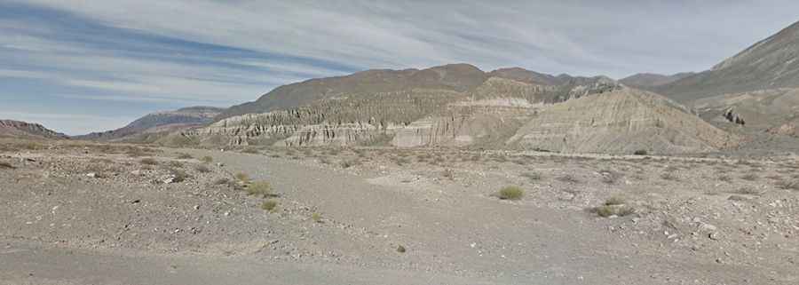
The pass is situated in northern Argentina, near the administrative border with the Jujuy Province. It crosses the eastern range of the Andes in the Salta region.
| Road facts: Abra de Ovejería | |
|---|---|
| Elevation | 4,310 m (14,140 ft) |
| Length | 85.7 km (53.2 miles) |
| Surface | Unpaved / Sand & Gravel |
| Location | Salta Province, Argentina |
How long is the road through Abra de Ovejería?
The road covers a total distance of 85.7 km (53.2 miles). It runs in an east-west direction, connecting the paved RN51 highway near El Alfarcito with the locality of San Lorenzo.
Is the road to Abra de Ovejería unpaved?
Yes, the entire route is unpaved. The surface consists of loose soil, gravel, and significant sandy sections that can affect traction. Due to the steep gradients and the nature of the terrain, a 4x4 vehicle is required to complete the crossing.
When is the best time to drive to Abra de Ovejería?
Accessibility is primarily limited to the summer season. During winter and spring, the high altitude makes the pass susceptible to snow and extreme weather conditions, often rendering the track impassable for standard vehicles.