Abra Paves: An Awe-Inspiring Road through Extremely Remote Areas
Abra Paves is a high mountain pass at an elevation of 4.239 m (13,907 ft) above sea level, located in the province of Jujuy, in Argentina.
Where is Abra Paves?
The pass is located south of Cuesta del Lipán–Abra Potrerillos, in the Tumbaya department, in the northern part of the country.
Is Abra Paves unpaved?
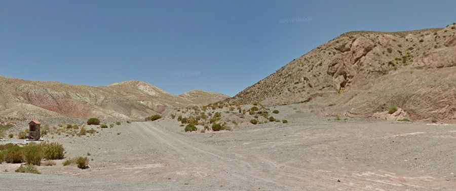
The road to the summit is not easy. It’s totally unpaved with loose rocks. 4x4 vehicles only. The danger of traversing Abra Paves lies not in its steepness—the maximum gradient is 10%—but in the extreme altitude, climate, and isolation of the surrounding Puna (Andean Altiplano) region. The pass sits in a remote, semi-arid environment.
Drivers must contend with:
• Extreme Oxygen Deprivation: At this elevation, the risk of Acute Mountain Sickness (AMS) is significant, demanding slow travel and prior acclimatization.
• Weather and Wind: The Puna is characterized by fierce, unpredictable changes in weather and powerful, sustained crosswinds that can affect vehicle stability on the unpaved road.
• Isolation and Logistics: The area is extremely sparsely populated. There is no reliable cell service and no emergency services nearby. A mechanical failure or an accident here becomes life-threatening due to the sheer remoteness, making the recommended 4x4 vehicle essential for survival and self-rescue.
How long is Abra Paves?
Starting from the paved Ruta Provincial 52 (RP52), the ascent is 13.57 km (8.43 mi) long. Over this distance, the elevation gain is 388 meters. The average gradient is 2.85%, with 10% of maximum gradient near the summit.
Road suggested by: Jorge Manuel Gómez Sánchez