How to drive the unpaved road to Beckwourth Peak in California?
Beckwourth Peak is a high mountain peak at an elevation of 2.205m (7,234ft) above sea level, located in Plumas County, in the US state of California. The road is very steep: the average gradient is 8.59%.
Where is Beckwourth Peak?
The peak is located southwest of the small town of Beckwourth, in the northeastern part of California, within the Plumas National Forest.
Why is there a road to Beckwourth Peak?
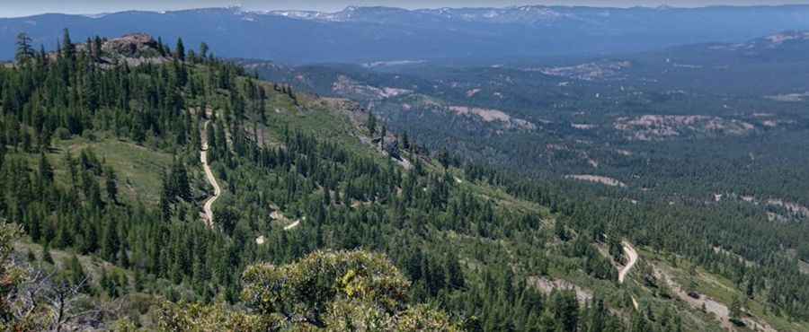
At the summit there are some communication towers. Located directly west of the Sierra Valley, the road offers excellent views of the valley and surrounding mountains.
Is the road to Beckwourth Peak unpaved?
The road to the summit is totally unpaved. It is a Forest Service Road. Only 4wd vehicles can reach the summit. Most of the road can be driven by 2WD vehicles (except the last 3 ¼ miles to the summit). It’s very steep.
How long is the road to Beckwourth Peak?
Starting from Portola McLears Road, the ascent is 8.05km long. Over this distance the elevation gain is 692 meters. The average gradient is 8.59%.
Is the road to Beckwourth Peak open year-round?
Set high in the Sierra Nevada mountain range, the road is not plowed in winters.
Pic: Ryan Bavetta