How to drive the unpaved road to Fields Peak in Oregon?
Fields Peak is a high mountain summit reaching an elevation of 2,246 meters (7,368 ft) above sea level, located in Grant County, in the US state of Oregon. Tucked away within the Malheur National Forest, the road to the top is a steep, single-lane dirt track that hits a severe average gradient of 15.92%.
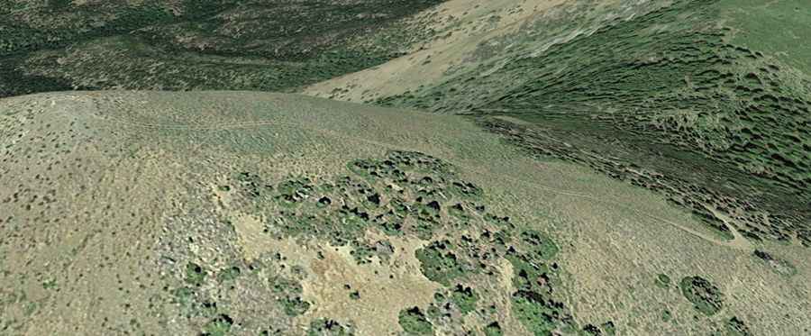
| Road facts: Fields Peak (NF-212) | |
|---|---|
| Location | Grant County, Oregon (USA) |
| Elevation | 2,246 m (7,368 ft) |
| Length | 3.9 km (2.4 miles) |
| Elevation Gain | 621 m (2,037 ft) |
| Average Gradient | 15.92% |
| Surface | Unpaved (Dirt, sand, and volcanic rocks) |
Where is Fields Peak?
The peak is located west of John Day in the northeastern part of Oregon, within the Aldrich Mountains sector of the Malheur National Forest. At 2,246 meters high, it is the highest point in Oregon between Strawberry Mountain and the Cascade Range.
Why is there a road to Fields Peak?
A wooden lookout tower was built at the summit in 1933 for forest fire surveillance. The structure was officially decommissioned and taken down in 1967, leaving only the access track up the ridge.
Is the road to Fields Peak unpaved?
The road to the summit is completely unpaved, rough, and narrow. Designated as Forest Road 212 (and also known as Aldrich Mountain Lookout Road), it is a single-lane track with a surface composed of loose dirt, sand, and sharp volcanic rocks. A 4x4 vehicle with high ground clearance is required to negotiate the steep ramps and exposed drop-offs over the valley.
How long is the road to Fields Peak?
Starting from the junction with Forest Road 2160, the climb is 3.9 kilometers (2.4 miles) long. Over this short distance, the track gains 621 meters of vertical elevation, resulting in a brutal average gradient of 15.92%.
Is the road to Fields Peak open year-round?
Set high in the Aldrich Mountains, the road is not plowed during the winter and remains buried under snow until late spring. The track is generally passable only from mid-June through November, depending on annual snowpack levels.