How to drive the unpaved road to Government Harvey Pass in Oregon
Government Harvey Pass is a high mountain pass at an elevation of 2.170m (7,119ft) above sea level, located in Lake County, in the U.S. state of Oregon.
Where is Government Harvey Pass?
The pass is located in the south-central part of Oregon, within the Fremont-Winema National Forest. The drive offers spectacular vistas of the Summer Lake basin.
Is the road to Government Harvey Pass unpaved?
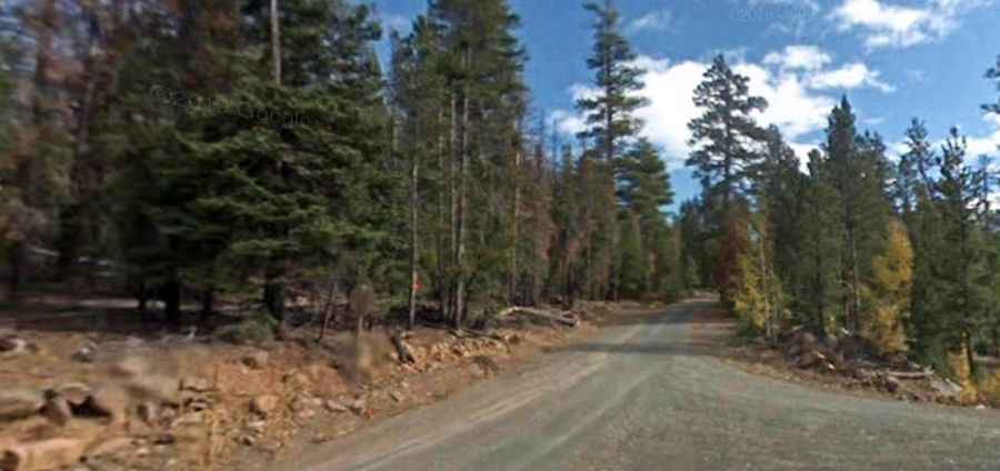
The road to the summit is totally unpaved. It’s called NF-3313, also known as Government Harvey Pass Road. Drive carefully on this road as it has narrow curves and washboard conditions. Be prepared.
How long is the road to Government Harvey Pass?
The road through the pass is 11.5 miles long, running west-east from NF-28 to the paved OR-31. A fire burned much of this route in 2018.
Is the road to Government Harvey Pass open year-round?
Set high in the Winter Rim, the road is usually impassable from Mid-October to Mid-May.