How to drive the unpaved Lost Creek Canyon Road in Utah?
Located in Sevier County, in the US state of Utah, Forest Road 053—often referred to as Lost Creek Canyon Road—is a high mountain track within the Fishlake National Forest.
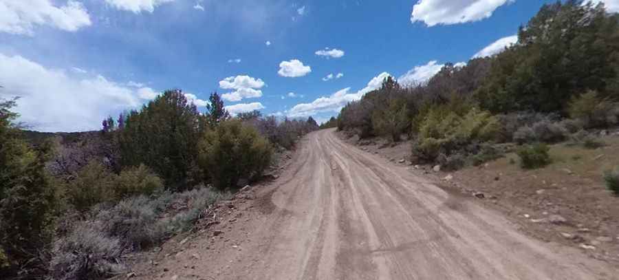
| Road facts: Forest Road 053 | |
|---|---|
| Location | Sevier County, Utah, USA |
| Elevation | 2,336 m (7,664 ft) |
| Length | 16.1 km (10.0 miles) |
| Surface | Unpaved / Gravel and Dirt |
| Vehicle Required | 4WD Recommended |
How long is the Lost Creek Canyon Road?
The road is 16.1 km (10.0 miles) long, running from Forest Road 052 to Forest Road 051.
Is Forest Road 053 unpaved?
The road is entirely unpaved, with gravel, packed dirt, and loose rocks. In dry conditions, the track is manageable for most high-clearance vehicles, but a 4WD vehicle is highly recommended.
How challenging is the Lost Creek Canyon Road?
The drive through the canyon has moderate gradients, but the unpaved surface and narrow sections require a slow pace. While the track is generally well-defined, it is subject to seasonal erosion that can create deep ruts and washouts, particularly after the spring snowmelt. The road lacks safety barriers, and certain sections are exposed to steep canyon edges.
Is the Lost Creek Canyon Road open year-round?
The road tops out at 2,336m (7,664ft) above sea level. In winter, the road is typically impassable due to deep snow accumulation and is not maintained for public travel. Always verify the current status of the road with the Fishlake National Forest rangers, especially if you plan to transit after heavy precipitation, as mud can trap vehicles in the lower canyon sections.
Pic: Jeremy Peterson