How difficult is the 4x4 road to Treasure Mountain in Colorado?
Treasure Mountain is a high mountain summit reaching an elevation of 3,380m (11,089ft) above sea level in Mineral County, Colorado. Located in the rugged San Juan Mountains, the road to the top, known as County Road 39 (Fall Creek Road), is a deceptive climb. While the lower sections are well-graded, the final approach to the summit turns into a narrow, primitive trail where high-clearance 4x4 vehicles are mandatory to navigate the steep ramps and the unpredictable rocky terrain near the peak.
| Road facts: Treasure Mountain | |
|---|---|
| Location | Mineral County, Colorado (USA) |
| Elevation | 3,380 m (11,089 ft) |
| Length | 12 km (7.45 miles) from US-160 |
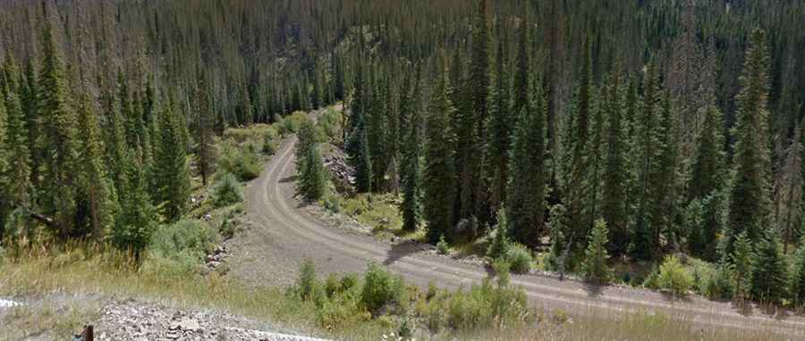
| Surface | Dirt / Primitive Gravel |
| Max Gradient | Significant ramps in the last 2 miles |
How long is the County Road 39 to Treasure Mountain?
The drive covers 12 km (7.45 miles) starting from the paved US-160, very close to the famous Wolf Creek Pass. The first part of the journey through Fall Creek Road is relatively smooth and well-maintained, but don't let the 3.67% average gradient fool you. The last 3.2 km (2 miles) are a completely different story: the track narrows significantly and turns into a high-clearance jeep trail. Over the total distance, you gain 441 meters in elevation, with the air thinning out rapidly as you approach the 3,380m mark, affecting both your engine's power and your own reaction times.
What are the hazards of meeting oncoming traffic on Treasure Mountain?
One of the most dangerous aspects of Treasure Mountain is the lack of space. The road is a single-lane track with almost no shoulder in the steepest sections. Real-world drivers warn that you must watch out constantly for vehicles coming in the opposite direction; in many places, there is absolutely no room to pull over. If you meet another 4x4 on a narrow ledge, one of you will be forced to reverse down a steep, loose-gravel incline until a rare widening in the road is found. This "hairy" maneuver is complicated by the sheer drops and the lack of guardrails that define the San Juan mountain roads.
Why is the final 2-mile push to the summit only for 4x4s?
While the lower part of Fall Creek Road might be accessible to softer SUVs, the final two miles are strictly for high-clearance 4x4 vehicles. The surface becomes a primitive mix of large embedded rocks and deep ruts that can easily snag the undercarriage of a standard car. The gradient increases sharply near the top, requiring low-range gearing to maintain traction on the loose mountain scree. Without enough ground clearance, you risk smashing your oil pan or getting high-centered in sections where the road has been eroded by snowmelt and heavy rains.
Is the road to Treasure Mountain open in winter?
Treasure Mountain is a "no-go" zone for most of the year. The road is typically snowed over by October or November and, unlike the main highway at Wolf Creek Pass, it is never plowed. Wintry conditions or sudden white-outs can turn this narrow shelf road into a death trap in minutes. Even in late spring, deep snowbanks can block the 12 km path, forcing drivers to turn around on dangerous, narrow ledges. If you are planning a trip, late summer is the only reliable window, but you must still be prepared for sudden thunderstorms that turn the dirt track into a slick, muddy slide where braking becomes almost impossible.