How to drive the paved road to Rainbow Point in Utah?
Rainbow Point is a scenic overlook at an elevation of 2.781m (9,124ft) above sea level, located in the US state of Utah.
Where is Rainbow Point?
The viewpoint is located on the boundary between Kane and Garfield counties, in the south-central part of Utah, within the Bryce Canyon National Park.
What’s at Rainbow Point?
At the summit there’s a big parking lot. It is the furthest south you can drive in Bryce Canyon. At the summit you can see for miles on a clear day with fantastic views back over Bryce Canyon’s rock formations and Pink Cliffs vistas.
Is the road to Rainbow Point paved?
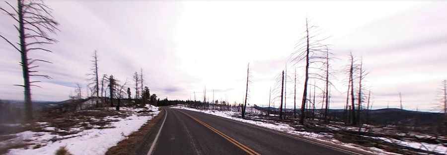
The road to the summit is fully paved and pretty steep. It’s called UT-63 S. It comprises a few turns and many steep parts.
How long is the road to Rainbow Point?
Starting from Bryce Canyon City on the paved road UT-12, the road to the summit is 33.15km (20.6 miles) long. Over this distance, the elevation gain is 640m (2,103 ft) and the average gradient is 1.93%.
Pic: Cam Camera