How to drive the unpaved Miller Flat Road to Scade Valley Divide in Utah?
Scade Valley Divide is a high mountain pass at an elevation of 2.796m (9,173ft) above sea level, located in the US state of Utah.
Where is Scade Valley Divide?
The pass is located on the boundary between Sanpete and Emery counties in the north-central part of Utah, within the Manti-La Sal National Forest.
Is the road to Scade Valley Divide unpaved?
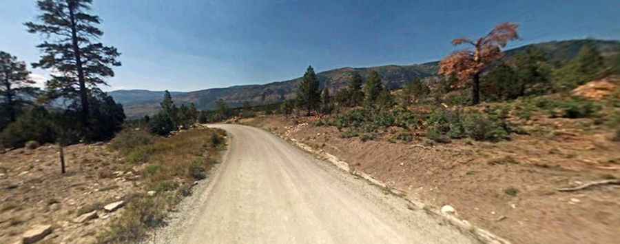
The road through the pass is totally unpaved, mostly in good condition. It’s called Miller Flat Road (Forest Road #0014). A high clearance vehicle is required.
How long is the road to Scade Valley Divide?
The road is 33.63km (20.9 miles) long, running north-south from Utah Highway 31 to Utah Highway 29.
Is the road to Scade Valley Divide open year-round?
Set high in the Wasatch Plateau, the road is not plowed in winters.