How to drive the paved NV-278 Road to Garden Pass?
Garden Pass is a high mountain pass at an elevation of 2.042m (6,699ft) above sea level, located in Eureka County, in the US state of Nevada.
Where is Garden Pass?
The pass is located in the northern part of Nevada between the Whistler Range and the Sulphur Springs Range, on the transition point between Diamond Valley and Garden Valley.
Is the road to Garden Pass paved?
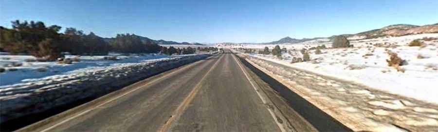
The road to the summit is paved (fully paved in 1956). It’s called Nevada State Route 278 (SR 278). It features two wide lanes, good visibility, and moderate grades with occasional steeper sections.
How long is the road to Garden Pass?
The road is 140.9 km (87.5 miles), running from U.S. Route 50 (near Eureka) in the south to Interstate 80 (in Carlin) in the north.
Is the road to Garden Pass open year-round?
Set high in the Roberts Mountains, the road remains open year-round, though as a high-mountain stretch in a very isolated area of the Great Basin, it is subject to short temporary closures during snowstorms or when wind blows snow across the asphalt.