How to drive the unpaved Forest Road 1950 in New Mexico
Forest Road 1950 is a high mountain road located in the US state of New Mexico. It’s one of the highest roads of New Mexico, climbing up to 3.067m (10,062ft) above sea level.
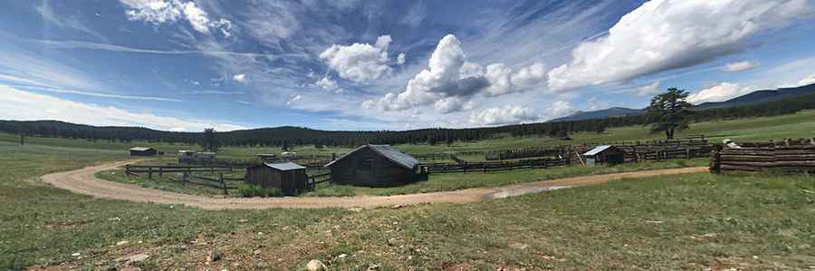
Where is Forest Road 1950?
The road straddles Taos and Colfax counties, in the northern part of New Mexico, within the Carson National Forest.
Is Forest Road 1950 unpaved?
The rough road is totally unpaved. It comprises narrow parts and steep sections. A 4x4 vehicle is required. Along the way there are some campgrounds.
How long is Forest Road 1950?
The road is 48 miles long, running north-south from Comanche Point to the paved US-64 near Cimarron.
Is Forest Road 1950 open year-round?
Set high in the Sangre de Cristo Mountains, the road is not plowed in winters.
Pic: Jeff Stevens