Travel guide to the top of Dead Indian Hill in WY
Dead Indian Hill is a high mountain peak at an elevation of 2.606m (8,549ft) above the sea level, located in northern Park County, in the U.S. state of Wyoming.
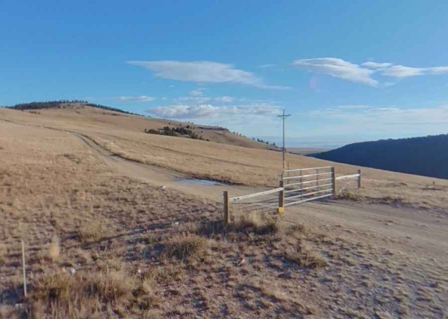
Set high in the Absaroka Range, the road to the summit, named by history's events, is totally unpaved. The road is blocked by a gate (which is usually open). A 4x4 vehicle is required. The summit hosts a few radio towers and overlooks Sunlight Basin.
The road to the summit is very steep, hitting a 13% of maximum gradient through some of the ramps. Starting at Dead Indian Pass, the ascent is 1.5 km (0.93 miles) long. Over this distance the elevation gain is 133 meters. The average gradient is 8.86%. Keep an eye on weather because snowstorms can close it and make the drive risky.
Pic: Przemysław Mastej