How to get by car to Chepeta Lake in Utah?
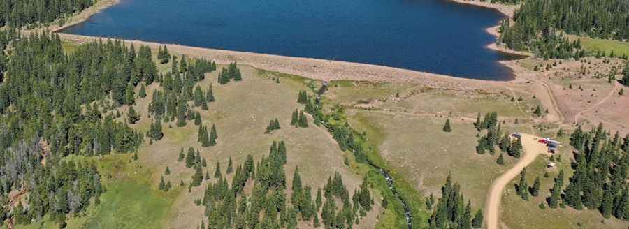
Chepeta Lake is a high mountain lake at an elevation of 3,228 m (10,590 ft) above sea level, located in Duchesne County, in the U.S. state of Utah. It’s one of the highest roads in Utah.
Where is Chepeta Lake?
The lake, also known as WR-64, is located in the northeastern part of Utah, within the Ashley National Forest.
Is the road to Chepeta Lake unpaved?
The road to the lake is totally unpaved and pretty well maintained, though a bit rough in parts. It’s called FR 110. In good weather, on the weekends, the road can be a bit busy with people driving to the lake.
How long is the road to Chepeta Lake?
Starting from FR 117 Road, also known as Elkhorn Loop, the road to the lake is 17.38 km (10.8 miles) long. Near the end, about 200 yards away from the lake, there is a small parking lot.
Pic: Jay Aguiniga