A memorable road trip to Apache Summit in New Mexico
Apache Summit is a high mountain pass at an elevation of 2,318m (7,604ft) above sea level, located in Lincoln County, in the U.S. state of New Mexico.
Where is Apache Summit?
The pass is located north of Alamogordo, in the southern part of New Mexico, within the Mescalero Reservation. At the summit, there are a few buildings and a campground.
Is the road through Apache Summit paved?
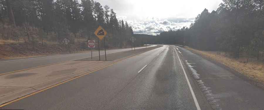
Set high in the Sierra Blanca Mountains, the road to the summit is totally paved. It’s called US Highway 70. It is a nice, wide highway with little traffic. The drive is pretty steep, hitting a 12.9% maximum gradient through some of the ramps.
How long is Apache Summit?
The pass road is 28.32km (17.6 miles) long, running from Ruidoso Downs (in Lincoln County) to Mescalero (in Otero County). It’s usually open year-round.