How to drive the unpaved road to Osborne Peak in New Mexico
Osborne Peak is a high mountain peak at an elevation of 2.762m (9,061ft) above sea level, located in Rio Arriba County, in the US state of New Mexico.
Where is Osborne Peak?
The peak, known as Archuleta Mountain in some maps, is located north of Dulce, in the northern part of New Mexico near the Colorado border.
Why is there a road to Osborne Peak?
At the summit there is a lookout tower built in 1960 and a TV antenna.
Is the road to Osborne Peak unpaved?
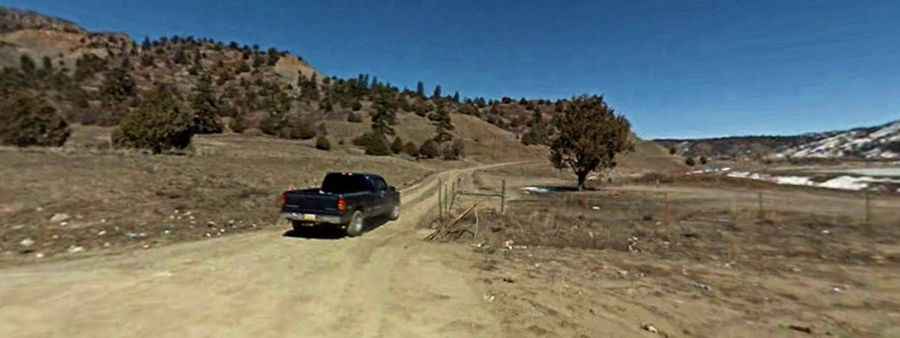
The road to the summit is totally unpaved, curvy and steep, with 14 hairpin turns. A 4x4 vehicle is required.
How long is the road to Osborne Peak?
Starting from the paved J2 Road, the road to the summit is 2.9 miles long.
Is the road to Osborne Peak open year-round?
Set high in the Jicarilla Reservation, the road is impassable in winters. Only travel on this road when it is dry.