How to drive the unpaved road to the lookout at Tohatchi Peak in New Mexico?
Tohatchi Peak is a high mountain peak at an elevation of 2.698m (8,851ft) above the sea level, located in McKinley County, in the US state of New Mexico.
Where is Tohatchi Peak?
The peak is located in the northwestern part of New Mexico, within the Navajo Indian Reservation.
Why is there a road to the summit of Tohatchi Peak?
At the summit there is a lookoout tower. Constructed in 1928, it is the oldest lookout on the Reservation.
Is the road to Tohatchi Peak unpaved?
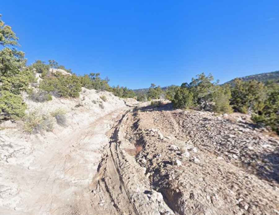
The road to the summit is totally unpaved, rocky and partly washed away. It’s called U.S. Forest Service Road 8060. 4x4 vehicles with high clearance only.
How long is the road to Tohatchi Peak?
Starting from Tohatchi, the road to the summit is 16.73km (10.4 miles) long. Over this distance, the elevation gain is 791m (2,598 ft) and the average gradient is 4.72%.