How to drive the unpaved road to Apache Peak
Apache Peak is a high mountain peak at an elevation of 3.334m (10,938ft) above the sea level, located in Apache County, in the US state of Arizona. It's one of the highest roads in Arizona.
Where is Apache Peak?
The peak is located just a four-hour drive from Phoenix in the northeastern part of Arizona, in the heart of Apache-Sitgreaves National Forest, within the Fort Apache Indian Reservation.
Is the road to Apache Peak unpaved?
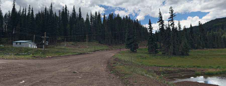
The road to the summit is totally unpaved. It’s a chairlift access trail of the Sunrise Park Resort. The road is very steep, with narrow parts. A 4x4 vehicle is required. It’s closed to private vehicles.
How long is the road to Apache Peak?
Starting from Sunrise Park Resort, the road to the summit is 4.66km (2.9 miles) long. Over this distance, the elevation gain is 488m (1,604 ft) and the average gradient is 10.47%.
Is the road to Apache Peak open year-round?
Set high in the White Mountains, the road is totally impassable in winters.
How to drive to Sunrise Peak?
North of the peak, a service road for a chairlift at Sunrise Peak, climbs up to at an elevation of 3.248m (10,656ft) above sea level.
Pic: Saurabh Nayar