Things to Know Before Driving Arizona State Route 261
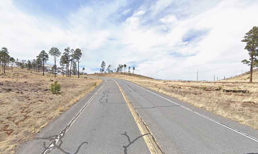
State Route 261 is a very scenic high mountain road located in Apache County, in the US state of Arizona. It’s one of the highest roads in Arizona.
Where is Arizona State Route 261?
The road is located in the eastern part of Arizona, near the border with New Mexico, within the Apache-Sitgreaves National Forest.
Is Arizona State Route 261 paved?
This curvy road, also known as State Route 261 or SR 261, is fully paved and suitable for all vehicles under normal conditions. The road quality is generally good.
How long is Arizona State Route 261?
The road is 29 km (18 miles) long, running north-south from AZ-260 (south of Springerville) to AZ-273 (north of Big Lake) through forested landscapes.
Is Arizona State Route 261 open?
Set high in the White Mountains, the road tops out at 2,845 m (9,333 ft) above sea level. It is closed during winter months.