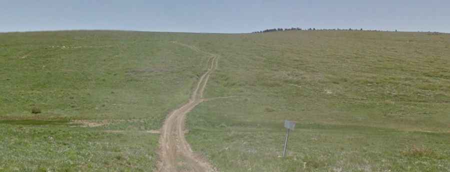
Driving the unpaved road to Bean Hill in Utah
Bean Hill is a high mountain peak at an elevation of 2,771m (9,091ft) above sea level located in the US state of Utah.
| Road facts: Bean Hill | |
|---|---|
| Location | Iron County, Utah, USA |
| Elevation | 2,771 m (9,091 ft) |
| Length | 16.6 km (10.3 miles) |
| Elevation Gain | 1,130 meters |
| Avg Gradient | 6.80% |
Where is Bean Hill?
The peak is located in the southwestern part of Utah, within the Dixie National Forest.
How long is the road to Bean Hill?
The road to the summit is 16.6 km (10.3 miles) long starting from Kanarraville. With a total elevation gain of 1,130 meters and an average gradient of 6.80%, the climb is constant and demanding.
Is the road to Bean Hill unpaved?
The road is entirely unpaved, consisting of a mix of graded dirt and loose volcanic rock. Several sections are steep, requiring a high-clearance 4x4 vehicle. The track is narrow, often reduced to a single lane with very few passing pockets.
When is the best time to drive the road to Bean Hill?
The dirt on this route contains high clay content, which turns into impassable "grease" mud after even moderate rainfall. Attempting this climb when wet will likely result in getting stuck. Additionally, the road is blocked by snow for much of the winter and spring. The track is best tackled during the dry summer months when the ground is hard-packed.