How to drive the scenic paved road to Cape Royal in Arizona
Cape Royal is a natural viewpoint at an elevation of 2.412m (7,913ft) above sea level, located in Coconino County, in the US state of Arizona. Take your time to drive it. So many beautiful things to see.
Where is Cape Royal?
The scenic overlook is located in the northern part of Arizona, within the Grand Canyon National Park. At the summit there is a large gravel parking area with stunning views. Cape Royal provides a panorama up, down, and across the canyon.
Is the road to Cape Royal paved?
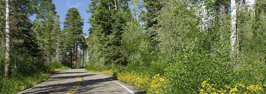
The scenic road to the summit is fully paved, in good condition. It’s called Cape Royal Road. There are a long of sharp bends and there are speed restrictions all along the way. It features many turns and steep sections.
How long is the road to Cape Royal?
Starting from AZ-67, the road to the scenic viewpoint is 31km (19.0 miles) long. It’s very steep in parts, with an elevation gain of +516 m / -452 m.
Is the road to Cape Royal open year-round?
Set high in the Walhalla Plateau, the road is closed from October to May.
Pic: L kayak003