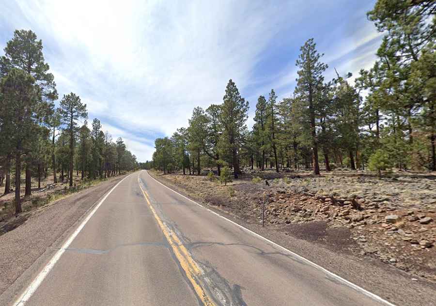
Driving the scenic Arizona State Route 260
Arizona State Route 260 is a very scenic high mountain road located in the north-central part of the U.S. state of Arizona.
How long is AZ 260?
The road, also known as State Route 260 or SR 260, is totally paved. Road quality is good. It’s 350km (217 miles) long, running from Cottonwood (in Yavapai County) to Eagar (in Apache County). The road runs through Yavapai, Coconino, Gila, Navajo, and Apache counties.
Is Arizona State Route 260 open?
Set high within the Apache-Sitgreaves National Forest, the road tops out at 2,345m (7,693ft) above sea level. It is typically open all year round, with the occasional closure in winters due to dangerous weather conditions because of its elevation changes. Winter driving on the road can be hazardous.
Is Arizona State Route 260 dangerous?
Located in the north-central part of Arizona, it’s said to be one of the most dangerous roads in the area due to the number of fatal accidents. Care must be observed due to narrow two lanes and wildlife crossing the road. The road is congested at times during holiday weekends with traffic from the Phoenix area to areas along the eastern Rim. The ideal time to travel is daylight. Not advised for night driving.