How to drive the 4x4 road to Bald Mountain in Wyoming?
Bald Mountain is a high-altitude peak at an elevation of 3,246m (10,649ft) above sea level, located in Park County, Wyoming. Technically, the road to the summit is a relic of the region’s industrial past, starting from the historic Kirwin ghost town. This route is classified as one of the highest mountain roads in Wyoming and requires a specific technical approach due to its unmaintained mining-track geometry.
| Road facts: Bald Mountain | |
|---|---|
| Location | Park County, Wyoming (USA) |
| Coordinates | 43.865870, -109.282510 |
| Elevation | 3,246 m (10,649 ft) |
| Surface | Unpaved (Mining track) |
What is the technical origin of the Bald Mountain road?
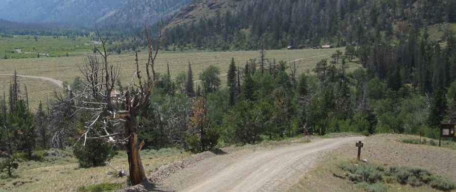
The roadbed to the summit of Bald Mountain was originally engineered to support the logistical needs of the mining operations in the Kirwin district. Technically, these tracks were built for wagons and early industrial vehicles, meaning they often follow the fall line of the mountain with minimal switchbacks. This results in sustained steep gradients that test the cooling systems and torque delivery of modern 4x4 vehicles. The surface is composed of native rock and scree, which becomes highly unstable when wet, making a dry-weather-only protocol mandatory for safe passage.
What are the 4x4 requirements for the Kirwin ascent?
Reaching the 3,246m summit from Kirwin is a high-clearance 4WD operation. Technically, the track features deep ruts and significant rock steps that can easily snag the undercarriage of a standard SUV. The mechanical logistics of the climb require a vehicle with a low-range transfer case to maintain slow-speed control over loose mining tailings. Safety protocols mandate a thorough inspection of the vehicle's suspension articulation and tire sidewall integrity before departure, as the sharp volcanic rock of the Absaroka Range is notorious for causing instant pneumatic failure.
How do road closures and weather affect the Bald Mountain transit?
At an elevation of over 3,000 meters, the summit of Bald Mountain is subject to extreme alpine weather patterns. Technically, snowpack can block the upper sections well into July, and rapid afternoon thunderstorms can turn the mining track into a mud-slicked hazard in minutes. Logistically, there is zero service infrastructure beyond the trailhead at Kirwin. Drivers must be self-sufficient and prepared for frequent road closures due to washouts or avalanche debris. Maintaining situational awareness regarding cloud formations and local temperature drops is essential to avoid being trapped on the exposed summit plateau.
Pic: George McQueen