How to drive the unpaved road to Mount Ogden in Utah
Mount Ogden is a high mountain peak at an elevation of 2.915m (9,563ft) above sea level, located in Weber County, in the U.S. state of Utah.
Where is Mount Ogden?
The peak is located east of Ogden, in the northern part of Utah, within the Uinta-Wasatch-Cache National Forest.
Why is there a road to Mount Ogden?
The summit hosts some large radio towers and a helipad. You can see 4 states from here.
Is the road to Mount Ogden unpaved?
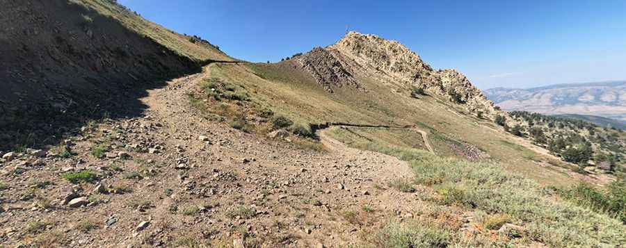
The road to the summit is totally unpaved, gravel, rocky and treacherous. It’s a service access road. It’s called Eloise Road. 4wd vehicle required. It features 14 hairpin turns.
How long is the road to Mount Ogden?
Starting from the paved UT-226, the road to the summit is 7.24km (4.5 miles) long. Over this distance, the elevation gain is 915m (3,002 ft) and the average gradient is 12.63%.
Is the road to Mount Ogden open year-round?
Set high in the Wasatch Range, the road is totally impassable in winters, from October through June.
Pic: Scott Appleby