Road trip guide: Conquering Elbow Lake in Utah
Elbow Lake is a high mountain sub-alpine lake at an elevation of 3.396m (11,141ft) above sea level, located in Wayne County, in the US state of Utah. It’s one of the highest roads of Utah.
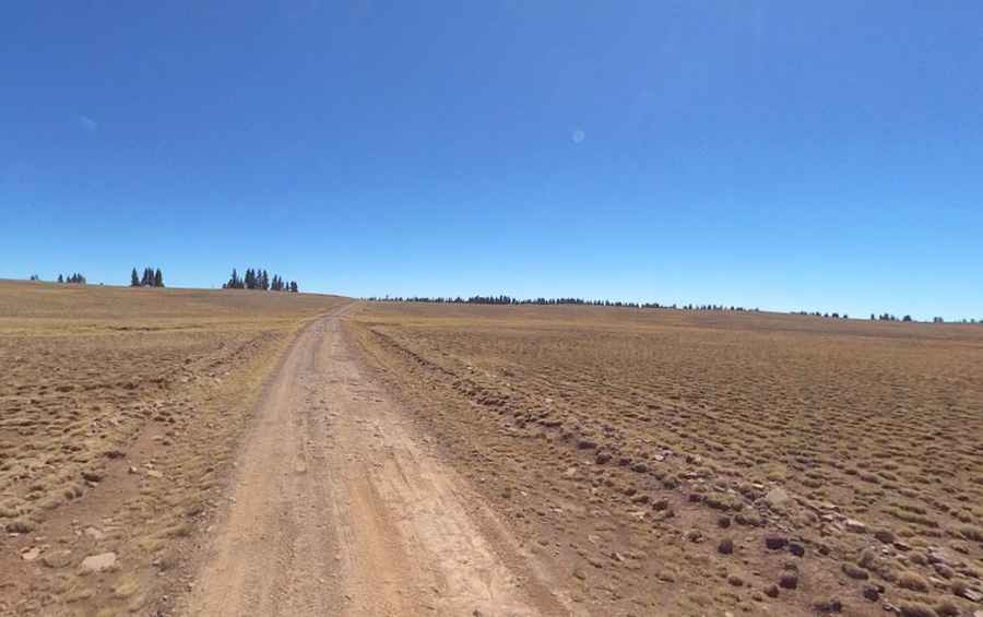
How long is the road to Elbow Lake in UT?
Set high in the south-central part of Utah, within the Dixie and Fishlake National Forests, access to the lake is difficult. A high clearance 4-wheel drive vehicle is required. The road to the lake, located in the Aquarius Plateau (referred to by many as the Boulder Mountain), is totally unpaved and treacherous. It’s called Forest Road 178. This is a great trail that offers a little bit of everything -- rocky challenges, fantastic scenery and access to some great hiking and fishing. The road is 34.76km (21.6 miles) long, running north-south from Aquarius Ranger Station to Deer Lakes.
Is Elbow Lake in UT open?
Part of the Thousand Lake Mountain, the road is usually open from June, 16th to October 31st. Only travel on this road when it is dry. Always be prepared for winter weather, even in summer. When visiting in the summer, be mindful that the area attracts massive thunderstorms. When these storms appear, it is recommended that you seek shelter immediately.
How to drive to Raft Lake, Dead Horse Lake, Twin Lakes, Bess Lake and Spectacle Lake?
Along the way, the road leads to many lakes in the area, including Raft Lake, at an elevation of 3.390m (11,122ft) above sea level; Dead Horse Lake, at an elevation of 3.373m (11,066ft) above sea level; Twin Lakes, a couple of sub-alpine lakes at an elevation of 3.402m (11,161ft) above sea level, Bess Lake, at an elevation of 3.381m (11,092ft) above sea level and Spectacle Lake at an elevation of 3.323m (10,902ft) above sea level.
Pic: Shannon Bushman