How to drive the unpaved road to Temple Peak in Utah
Temple Peak is a high mountain pass at an elevation of 2.746m (9,009ft) above the sea level, located in Cache County, in the US state of Utah.
Where is Temple Peak?
The pass is located south of Garden City, on the northern edge of Utah, within the Uinta-Wasatch-Cache National Forest. There’s a spotty cell phone service.
Is the road to Temple Peak unpaved?
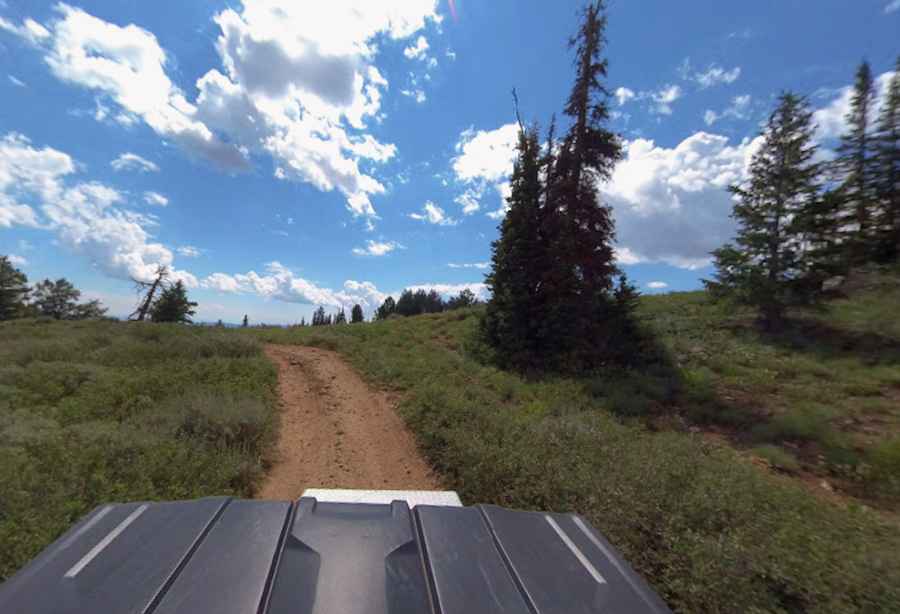
The road through the pass is called Forest Road 252. It’s a narrow, unpaved dirt road winding through a high-altitude alpine meadow with scattered pine trees and sagebrush. 4x4 vehicles only.
How long is the road to Temple Peak?
Starting from Sink Road, the road to the summit is 4.02km (2.5 miles) long. Over this distance, the elevation gain is 157m (518 ft) and the average gradient is 3.90%.
Is the road to Temple Peak open year-round?
Set high in the Bear River Range, the road is not plowed in winters.
Pic: Shannon Bushman