How to drive the unpaved road to Lewis Peak in Utah?
Lewis Peak is a high mountain peak at an elevation of 2.837m (9,307ft) above sea level, located in the US state of Utah.
Where is Lewis Peak?
The peak is located on the boundary between Morgan and Summit counties, in the northern part of Utah.
Why is there a road to Lewis Peak?
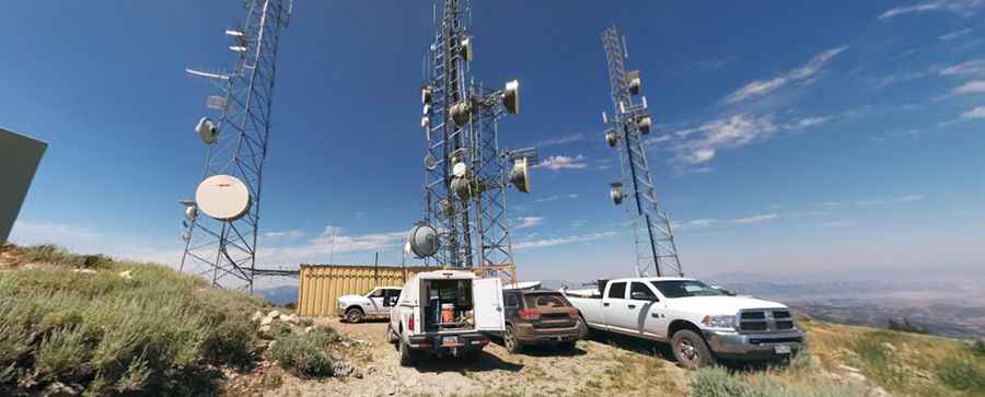
The summit hosts communication towers.
How long is the road to Lewis Peak?
The rough road to the summit is totally unpaved and steep in parts. It’s called Lewis Peak Road. It is 5.5 km long. Over this distance, the elevation gain is 371 m and the average gradient is 6.74%.
Can I drive to Lewis Peak?
The entire mountain is private and the road features a locked gate near the top. Unauthorized vehicles are not allowed, as access is reserved exclusively for property owners and tower workers. Do not attempt this drive without permission from the landowners.
Is the road to Lewis Peak open year-round?
Set high in the Wasatch Range, the road is not plowed in winters.
Pic: Aaron Minard