How to drive the unpaved road to Sugarloaf Mountain in Utah
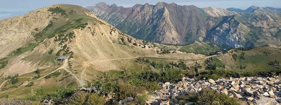
Sugarloaf Mountain is a high mountain peak at an elevation of 3.221m (10,567ft) above sea level, located in Salt Lake County, in the U.S. state of Utah. It’s one of the highest roads of Utah.
Where is Sugarloaf Mountain?
The peak is located south of Salt Lake City, in the northern part of Utah, within the Uinta-Wasatch-Cache National Forest. The summit overlooks Albion Basin, Secret Lake, and much of Utah's Alta ski resort.
Is the road to Sugarloaf Mountain unpaved?
The road to the summit is a ski-station service road for the Alta Ski Area. It’s totally unpaved and very steep, with narrow parts. A 4x4 vehicle is required.
How long is the road to Sugarloaf Mountain?
Starting from Little Cottonwood Road, the road to the summit is 5.4 km long. Over this distance, the elevation gain is 618 m and the average gradient is 11.44%.
Is the road to Sugarloaf Mountain open year-round?
Set high in the Wasatch Mountain Range, the road is impassable in winters.
Pic: Ben Limberg