Road to Clayton Peak: Driving the 20% Service Track in Utah
At an elevation of 3,196m (10,485ft) above sea level, Clayton Peak (also known as Mount Majestic) is a high mountain summit located in Salt Lake County, Utah. Situated on the eastern side of the Wasatch Mountains, the access to the peak is managed through a specialized ski-station service road within the Brighton Resort area.
| Road facts: Clayton Peak | |
|---|---|
| Location | Salt Lake County, Utah, USA |
| Elevation Gain | 518 m |
| Length | 3.5 km (2.17 miles) |
| Average Gradient | 14.8% |
| Max Gradient | 20% |
How is the road to Clayton Peak?
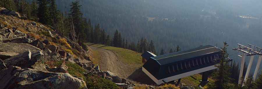
The road to Clayton Peak starts at the parking lot of Brighton Resort. It is a 3.5 km (2.17 miles) unpaved service trail used primarily for chairlift maintenance. The track is exceptionally steep, with a sustained average gradient of 14.8% and specific technical ramps reaching 20% incline. The surface consists of loose Alpine scree and dirt, requiring high-clearance 4x4 vehicles with low-range gearing to maintain traction on the most vertical segments.
What are the driving hazards on the road to Clayton Peak?
The primary hazard on the road to Clayton Peak is the extreme exposure and high-altitude weather volatility. Even during the summer months, the peak is subject to sustained high winds and sudden snow squalls. The 20% gradient sections present a high risk of transmission overheating during the ascent and severe brake fade during the descent. Due to its function as a ski-station service road, the track lacks safety barriers, and the loose surface provides minimal friction on the narrow shelf turns near the 3,196m summit.
When is the road to Clayton Peak open?
Accessibility to Clayton Peak is restricted to a very narrow window in late summer, typically around the end of August, once the previous season's snowpacks have fully melted. For the remainder of the year, the track is impassable for motorized vehicles due to heavy snow accumulation and ice. Drivers must be prepared for sub-zero temperatures at any time, as the high elevation of the Wasatch Mountains creates rapid atmospheric cooling. Verification of local weather forecasts is mandatory before attempting the 518-meter vertical climb from the resort base.
What is the driving strategy for the road to Clayton Peak?
Navigating the technical ramps of Clayton Peak requires a steady throttle to prevent wheel spin on the 20% inclines. The use of locking differentials and low gearing is highly recommended to manage the constant 14.8% average slope. On the descent, relying solely on the braking system is hazardous; engine braking must be the primary method for speed control to avoid glazed brake pads. Despite the views of Mount Timpanogos and the Uinta Mountains, drivers must remain focused on the road surface, as rocks displaced by weather or maintenance machinery are common on the path.
Pic: Vance Boyer