How to drive the unpaved road to Chrysolite Mountain in Colorado
Chrysolite Mountain is a high mountain peak at an elevation of 3.669m (12,037ft) above sea level, located in Chaffee County, in the US state of Colorado. It’s one of the highest roads of Colorado.
Where is Chrysolite Mountain?
The peak is located in the central part of Colorado, within the San Isabel National Forest, on the south side of the Chalk Creek Valley.
Why is it called Chrysolite Mountain?
Late 19th and early 20th-century mining relics surround Chrysolite Mountain, though precious metals—rather than the mineral chrysolite—were extracted. The most prominent site is the western slope's Mary Murphy Mine, where visitors can still view decaying structures and an old aerial tramway.
Is the road to Chrysolite Mountain unpaved?
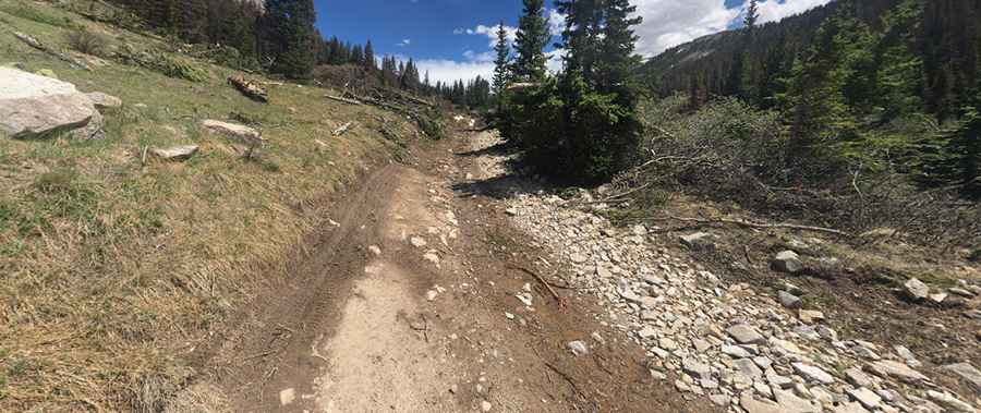
The road to the summit is totally unpaved, rough with several hairpin turns. It’s a very steep maintained (jeep) trail goes almost directly over the top of the peak. It’s called FR 297. It’s an old mining trail with very steep parts. 4wd with a high ground clearance vehicle is necessary.
How long is the road to Chrysolite Mountain?
Starting from the ghost town of Saint Elmo, the road to the summit is 4.82km (3.0 miles) long. Over this distance, the elevation gain is 661m (2,169 ft) and the average gradient is 13.71%. The road ends near Iron Chest Mine.
Is the road to Chrysolite Mountain open year-round?
Set high in the Sawatch Range, the road is not plowed in winters. It’s usually impassable from Ocober through early-June.
Pic: David Graves