The Road to Upper Pomeroy Lake in Colorado is Not for the Faint of Heart
Upper Pomeroy Lake is a high mountain lake at an elevation of 3,744m (12,283ft) above sea level, located in Chaffee County, in the U.S. state of Colorado. It’s one of the highest roads in Colorado.
Where is Upper Pomeroy Lake?
The lake is located north of Salida, in the central part of Colorado, at the feet of Pomeroy Mountain. 1.31 km (4,291ft) north of the lake, you’ll find another lake: Pomeroy Lake.
Is the road to Upper Pomeroy Lake unpaved?
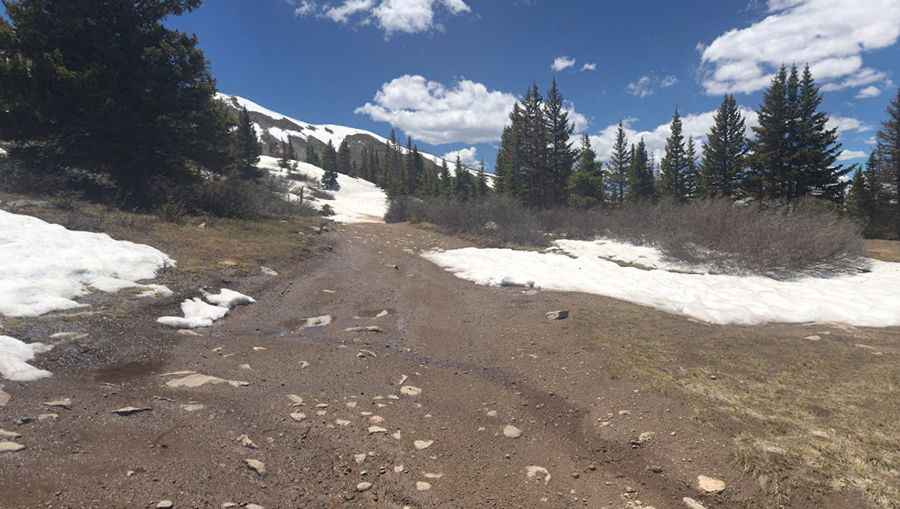
The rocky and bumpy road to the alpine lake is totally unpaved, steep, long, and moderately hard. It’s called Forest Service Road 297. This trail offers a mix of rocky challenges, fantastic scenery, Colorado history, and access to great hiking and fishing.
How long is the road to Upper Pomeroy Lake?
The road to the lake is 6.05km (3.75 miles) long, starting from Forest Road 295. A high-clearance 4x4 vehicle is required, but vehicles are currently not permitted to drive all the way to the lake.
Is the road to Upper Pomeroy Lake open in winter?
Set high in the Sawatch Mountains, the rocky 4x4 trail to the lake is usually open from late June through October. The ice does not completely melt on Upper Pomeroy Lake until late June or early July.
Pic: David Graves