How difficult is the 4WD road to Emma Burr Mountain in Colorado?
Emma Burr Mountain is a high mountain summit reaching an elevation of 3,692m (12,112ft) above sea level on the border of San Isabel and Gunnison National Forests in Colorado. Located in the rugged Sawatch Range, the road to the top is one of the highest in the state. This is not a route for casual drivers; the Chaffee County Road 344 is a demanding jeep trail where the combination of thin air, steep gradients, and loose scree turns a 12-mile climb into a serious off-road expedition.
| Road facts: Emma Burr Mountain | |
|---|---|
| Location | Chaffee County, Colorado (USA) |
| Elevation | 3,692 m (12,112 ft) |
| Road Name | Chaffee County Road 344 |
| Length | 12.2 miles (19.6 km) from CR 306 |
| Average Gradient | 4.5% (with much steeper ramps) |
How long is the Chaffee County Road 344 to Emma Burr Mountain?
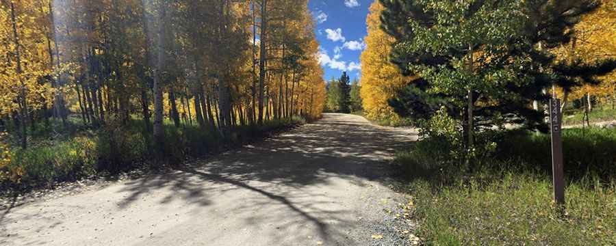
The journey to the summit starts at the intersection with the paved County Road 306 and covers 12.2 miles (19.6 km). Over this distance, you gain nearly 3,000 feet of elevation. While the average gradient might seem manageable, the reality on the ground is different: the road features several brutal ramps and tight hairpin turns that require constant gear management. Along the route, there are several campgrounds tucked into the aspen groves, but as you climb higher, the forest thins out and the track becomes a rocky shelf road where the margin for error disappears against the steep slopes of the Sawatch Range.
What are the hazards of driving the Emma Burr Mountain jeep trail?
The road surface is notoriously rough and unpaved, consisting of packed dirt that quickly gives way to loose gravel and jagged rocks. A high-clearance 4WD vehicle is mandatory to handle the deep ruts and the "loose-gravel breaks" that can cause you to lose traction in an instant. After even a light rain, the dirt turns into a slick slurry, making the steep switchbacks incredibly dangerous. You must stay alert for sudden changes in the terrain; a section that looks solid can collapse under the weight of a heavy vehicle, especially on the narrowest parts of the CR 344 where passing another jeep is almost impossible.
Is the road to Emma Burr Mountain open during the summer?
While the road is technically accessible during the summer months, winter weather can hit the 3,692m summit at any time. Sudden blizzards and hailstorms are common in the high Colorado Rockies, even in July and August. These rapid weather shifts can turn a dry trail into an impassable mud trap in minutes. If you are planning to reach the peak, you must check the Chaffee County forecasts and be prepared for sub-freezing temperatures. Once the snow starts to stick, the upper sections of Emma Burr Mountain become a lethal trap of ice and deep drifts that remain until well into the following summer.
Why do you need a specialized vehicle for Emma Burr Mountain?
Attempting this climb in a standard SUV is a guaranteed way to damage your vehicle. At over 12,000 feet, your engine will lose a significant amount of its power, and you will need the low-range gearing of a proper 4x4 to crawl over the rocky steps near the summit. The descent is equally challenging; relying solely on your brakes on the steep ramps will cause them to overheat rapidly, so engine braking is vital. There is no cell service in most parts of the San Isabel National Forest, so carrying a recovery kit, extra water, and a spare tire is the only way to ensure you don't end up stranded in the high-altitude wilderness of the Sawatch Range.
Pic: Travel Reputation Services