How to drive the unpaved road to Jackal Hut in Colorado
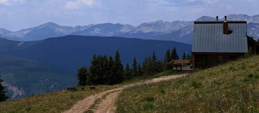
Jackal Hut is a high mountain refuge at an elevation of 3.557m (11,669ft) above sea level, located in Eagle County, in the US state of Colorado.
Where is Jackal Hut?
The refuge is located south of Copper Mountain in the central part of Colorado, within the White River National Forest.
Why is it called Jackal Hut?
The hut is named after Jack Schuss and Al Zesiger, two dedicated supporters of the 10th Mountain Division. Its name is an eponymous blend of 'Jack' and 'Al'. It was used by 10th Mountain troops during their war training in the 1940s.
Is the road to Jackal Hut unpaved?
This very steep unpaved road to the hut is rough with several hairpin turns. It’s called Ranch Creek Road. Be aware that this road is very steep and not recommended for vehicle access. Motorized vehicle must park at the summer closure gate approximately 1/4 mile from the hut.
How long is the road to Jackal Hut?
Starting from Forest Road 714, the road to the summit is 4.98km (3.1 miles) long. Over this distance, the elevation gain is 722m (2,369 ft) and the average gradient is 14.49%.
Is the road to Jackal Hut open year-round?
Set high in the Sawatch Range, the road is not plowed in winters. It’s snow-free from June to October.
Pic: Peter Bailey