How to drive the unpaved road to the towers at Castle Peak in Colorado
Castle Peak is a high mountain peak at an elevation of 3.364m (11,036ft) above sea level, located in Eagle County, in the US state of Colorado.
Where is Castle Peak?
The peak is located north of Gypsum, in the northern part of Colorado, within the Castle Peak Wilderness Study Area.
Why is there a road to Castle Peak?
The summit hosts communication towers.
Is the road to Castle Peak unpaved?
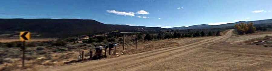
The unpaved road to the summit is rough with some hairpin turns. It's called 8511 E. A 4wd vehicle is required.
How long is the road to Castle Peak?
Starting from Ebby Creek Road, the road to the summit is 4.5 km long. Over this distance, the elevation gain is 246 m and the average gradient is 5.46%.
Is the road to Castle Peak open year-round?
Set high in the Sawatch Range, the road is not plowed in winters. It is usually snow free from June to October.