The wild road to Monarch Ridge South in CO
Monarch Ridge South is a high mountain peak at an elevation of 3.634m (11,922ft) above the sea level, located in Chaffee County, in south-central Colorado in the United States. It’s one of the highest roads of Colorado. The average gradient is 7.45%.
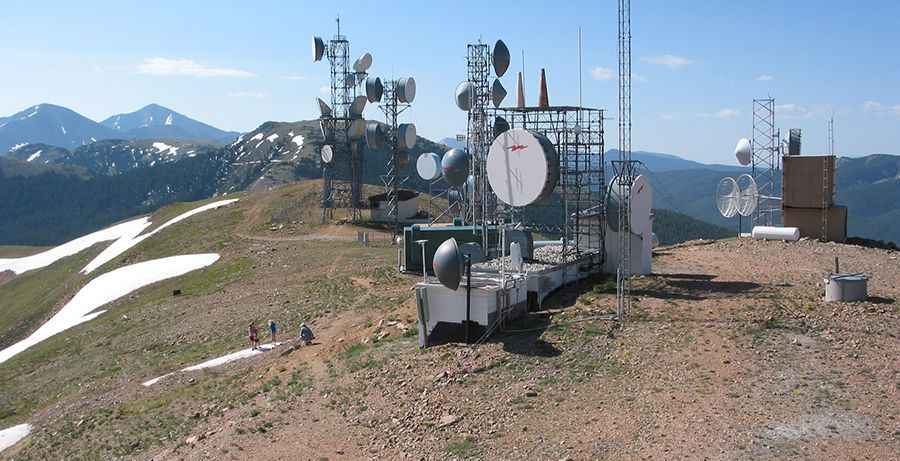
Set high in the Rocky Mountains, the road to the summit is gravel. Access is right off Monarch Pass (Hwy 50), where there is a large parking lot. The pass and the area is prone to heavy winter snowfall, often resulting in temporary closures during severe winter storms. At the summit are some communication antennas. This road can be traversed by passenger vehicles at most times during the summer and early fall months.It’s pretty steep. Starting from Monarch Pass (3.458m), the ascent is 2.36 km (1.47 mi) long. Over this distance the elevation gain is 176 meters. The average gradient is 7.45%.
Be bear aware. Due to the high elevations and exposure, the road is subject to strong winds and rapid weather changes. Be prepared for the cold and wind! High winds blow here all year long. The weather station recorded a wind gust from the west of 148 mph, the highest official gust recorded to date in the state of Colorado. Thunderstorms are common.
Pic: Dirk Lummerzheim