Ultimate 4wd destination: Cronin Peak in Colorado
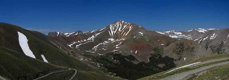
Cronin Peak is a high mountain peak located in Chaffee County, in the U.S. state of Colorado. An old mining trail west of the summit tops out at 3.914m (12,841ft) above sea level. It’s one of the highest roads of Colorado.
Where is Cronin Peak?
The peak, also known as North Carbonate Peak, is located in the central part of Colorado, within San Isabel National Forest.
Why is it called Cronin Peak?
The peak was named in honor of Mary Cronin, who in 1934 become the first woman to climb all 53 Colorado fourteeners.
Is the road to Cronin Peak unpaved?
The road to the summit is totally unpaved, pretty rough and rocky. It’s called Forest Road 278. It’s a road that remain from the old mining days in the shadows of Mount Antero. The climb requires a higher clearance 4x4 vehicle at a minimum.
How long is the road to Cronin Peak?
The road is 15.1 km (9.38 miles) long, running north-south from Alpine to Browns Lake. The drive is very steep, hitting a 21% of maximum gradient through some of the ramps. Along the way you will have good views of some of the high peaks of the area.
Can I drive to Cronin Peak in winter?
Set high in the southern Sawatch Range of the Rocky Mountains of North America, the road is impassable from October to June.
Pic: Matt Lemke