How to drive the unpaved road to Mount Givens in California
Mount Givens is a high mountain peak at an elevation of 3.091m (10,141ft) above sea level, located in Fresno County, in the US state of California. It’s one of the highest roads of California.
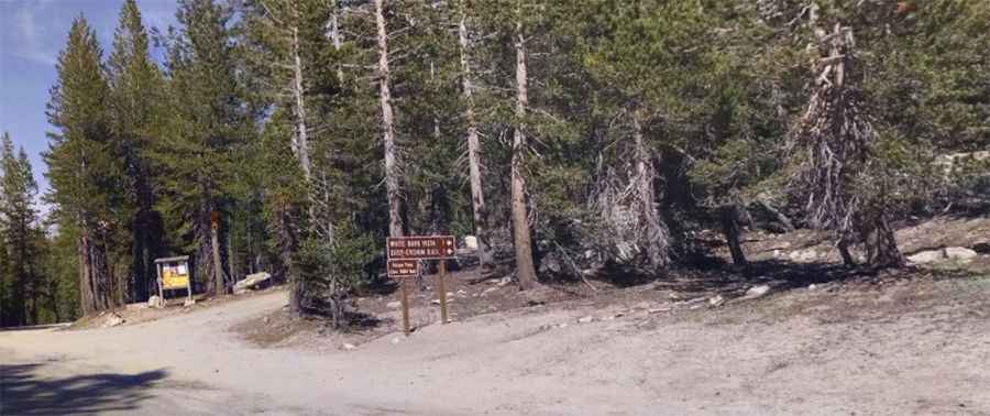
Where is Mount Givens?
The peak is located in the eastern part of California, within the Sierra National Forest. The view at the summit spans from southern Yosemite to far off Mount Whitney. There is a cell tower at the White Bark Vista point, thus full bar coverage on the road.
Is the road to Mount Givens unpaved?
The road to the summit is very rough and dusty, with narrow parts and steep sections. A 4x4 vehicle is required.
How long is the road to Mount Givens?
Starting at the paved Kaiser Pass, the road to the summit is 3.9 km long. Over this distance, the elevation gain is 313 m and the average gradient is 8.02%.
Is the road to Mount Givens open year-round?
Set high in the Sierra Nevada, the road is not plowed in winters. It is closed for most of the year.
Pic: Hey NowTV