Is the road to Iron Mountain in California difficult to drive?
Climbing to the summit of Iron Mountain is a journey into the rugged, sun-baked heart of the Inyo Mountains. At 2,892m (9,488ft) above sea level, this peak offers one of the highest roads in California. It’s not a route for casual SUVs; it’s a punishing jeep trail that demands high clearance, low-range gears, and a driver who knows how to handle a vehicle when the ground starts sliding away toward the abyss.
| Road facts: Iron Mountain | |
|---|---|
| Location | Inyo County, California (USA) |
| Elevation | 2,892m (9,488ft) |
| Length | 23.9 km (14.8 miles) |
| Avg. Gradient | 6.09% |
| Surface | Gravel / Rough Jeep Trail / 4x4 Required |
How long is the road to Iron Mountain?
The ascent starts near the narrow and twisty Gilbert Pass on the CA-168. From there, you have a 23.9 km (14.8 miles) grind to reach the peak. Over this distance, you gain a massive 1,456 meters in elevation. While the average gradient is 6.09%, the numbers don't show the reality of the steep "kickers" where the trail goes almost directly over the ridgeline. It’s a slow, technical climb through the desert scrub where your engine will be working overtime in the thin, dry air of Inyo County.
Is the road to Iron Mountain unpaved?
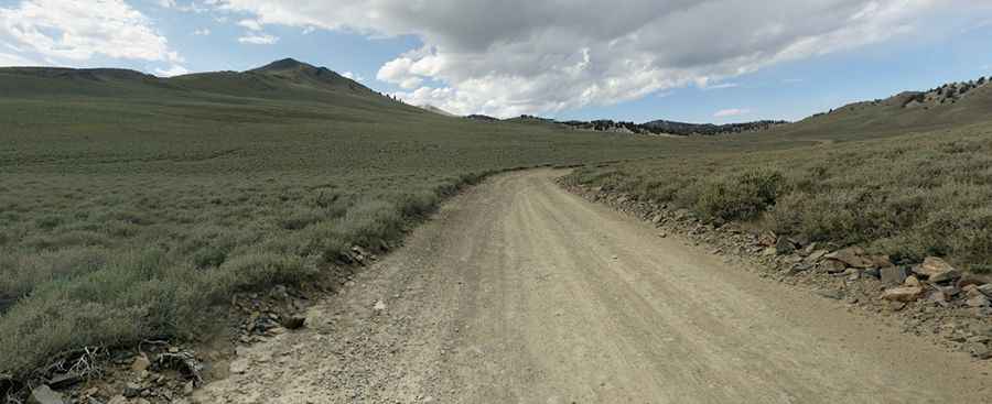
The road is entirely unpaved and ranks as one of the roughest "maintained" trails in the area. The surface is a mix of hard-packed desert floor and treacherous loose gravel. One of the biggest hazards is the "loose-gravel breaks"—sections where the support under your tires can suddenly give way, especially on the outside of the hairpin turns. After even a light rain, the dust turns into a slippery film that makes climbing the steeper sections nearly impossible without lockers and serious off-road tires. A standard 4x4 might make it, but a dedicated jeep or a vehicle with high clearance is what you really want here.
What are the hazards when driving to Iron Mountain?
The exposure on this road is world-class. If you have a problem with heights, the narrow sections with sheer drops into the Inyo Valley will be a nightmare. There are zero guardrails and very few places to turn around once you’ve committed to the final summit push. The weather is another silent killer; you can start in 35°C heat at the bottom and hit a freezing wind or a sudden snow squall at the top, even in the middle of summer. Always carry extra water, a full-size spare, and enough tools to fix a snapped tie-rod or a punctured tire. Out here, you are your own rescue team.
When is the best time to drive to Iron Mountain?
The route is generally snow-free from June to October, but the window can be shorter depending on the Sierra Nevada snowpack. High-altitude storms can dump snow on the peak at any time of year, turning a summer trip into a survival situation. Visibility is usually excellent, but the desert haze can hide the ruts and rocks in the road. Watch the track constantly—a single "hidden" rock can punch a hole in your oil pan and leave you stranded miles from the nearest paved road. Take it slow, keep your lockers ready, and focus on the road.
Driving to the top of Iron Mountain is a masterclass in desert mountain survival. It’s a raw, unpolished experience that rewards you with views of the Sierras that few people ever see. Respect the incline, trust your low-range gears, and don't push your luck with the weather. In the Inyo Mountains, the road always wins if you get overconfident. Stay sharp and keep your head in the game.
Pic: Uday Maripalli