How to drive the unpaved road to Big Sam in California
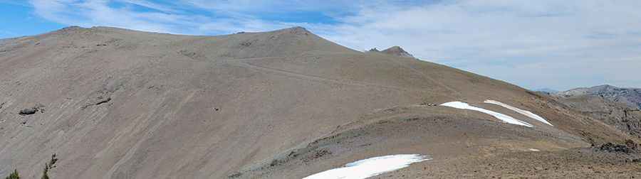
Big Sam is a high mountain peak at an elevation of 3.298m (10,820ft) above sea level, located in Mono County, in the US state of California. It’s one of the highest roads of California.
Where is Big Sam?
The peak is located south of Leavitt Lake, in the eastern part of California, within the Inyo National Forest.
Is the road to Big Sam unpaved?
The rough road to the summit is totally unpaved with several hairpin turns. It’s a very steep maintained (jeep) trail that goes almost directly over the top of the peak. 4wd vehicle required.
How long is the road to Big Sam unpaved?
Starting from the paved CA-108, the road to the summit is 8.8 miles long.
Is the road to Big Sam open year-round?
Set high in the Sierra Nevada, the road is not plowed in winters. The route is snow free from June to October. It is usually closed to vehicles well into the summer due to snow. Always be prepared for winter weather, even in summer.
Pic: Maverick GRey